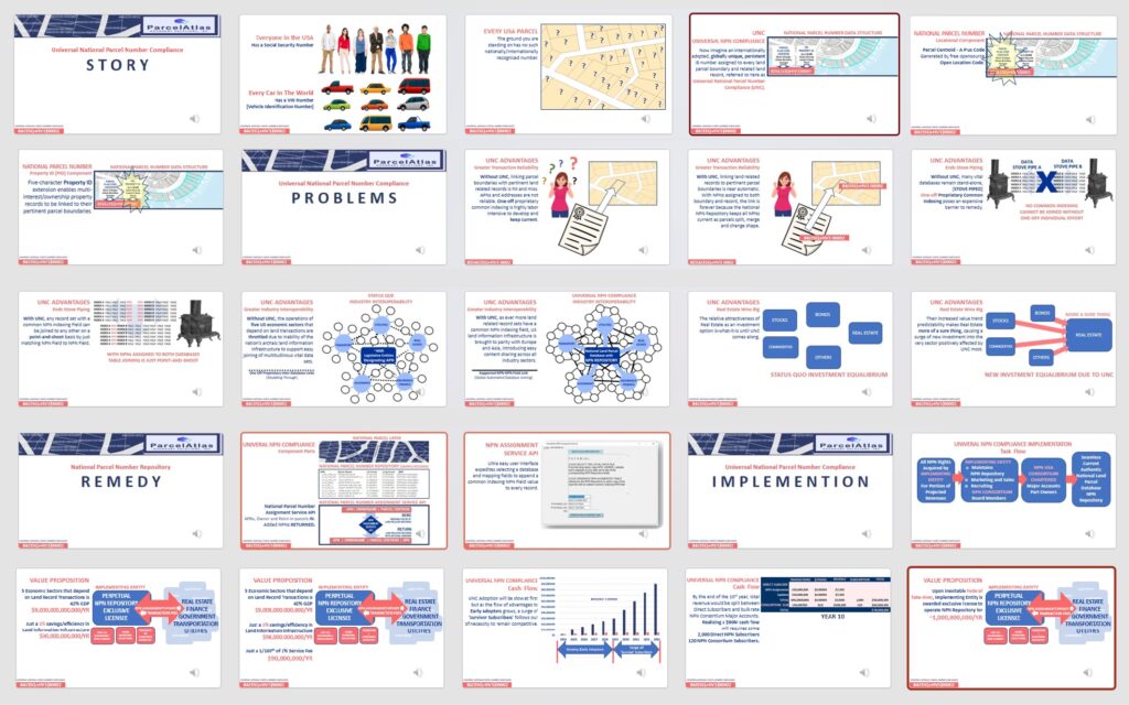
You have read the UNC BOOK. Now watch the MOVIE. National common indexing of land parcels is inevitable unless the US land record infrastructure is to remain forever primitive compared to the rest of the world. It is not going away. How it’s going to change everything land records for the better? How can I cash in on the profit storm ahead to implement and exploit it even if I am NOT a ParcelAtlas or Esri Subscriber?
Then you too will understand the whole deal, up till now, and how it greatly improves all things land transaction. In particular, learn why UNC is going to cause a shift in investment away from other financial sectors to Real Estate to be first to cash in on this change.
Selected Visuals of the Universal NPN Compliance Video

● ● ● ●
ParcelAtlas is the only national parcel layer content service INSIDE ArcGIS® Online, weighing in at almost 3000 counties, 150M parcels enhanced with industry leading Quantarium Property Attributes updated weekly. As for functionally, its analytical ability is limited only by the subscriber’s mastery of ArcGIS Pro. Subscriptions are for Live Data, but REST Subscriptions are available at commodity prices, easily implemented using the vast array of ArcPro tools.
